Solutions for AEC industry
SCAN To BIM Services
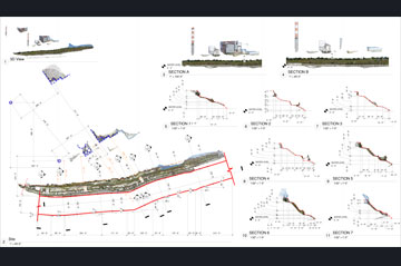
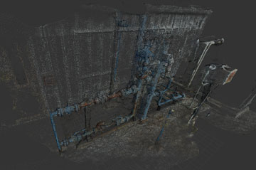
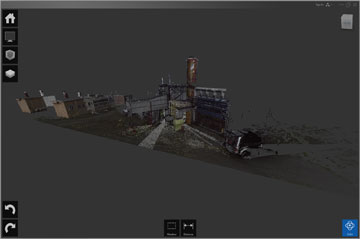
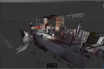
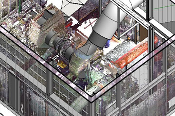
Ground & Aerial 3D Reconstruction (Laser Scanning + Photogrammetry)
- Accurate and Detail 3D Scanning Services based on the requirement of your task.
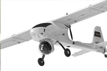
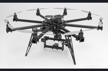
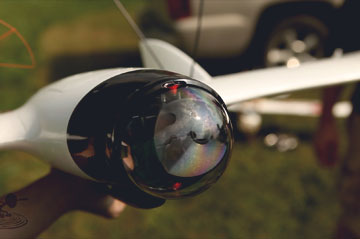
- Using qualified Pilots and special drones developed by BIM-MEE scientist and engineers:
- Large Scale Drones (over 25 Kg) for large scale scanning
- Octocopter Drones for smaller scale scanning purposes
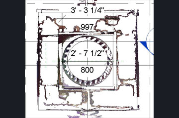
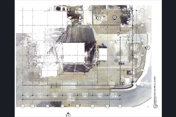
- SCAN to BIM services, Point Clouds to BIM model remodeling
- Retrofit project BIM modeling
- Existing Condition BIM Modeling